Optimizing Operations with LiDAR-Based Measurements for Large-Scale Stockpiles
Author: Release time:2023-12-07 09:01:25
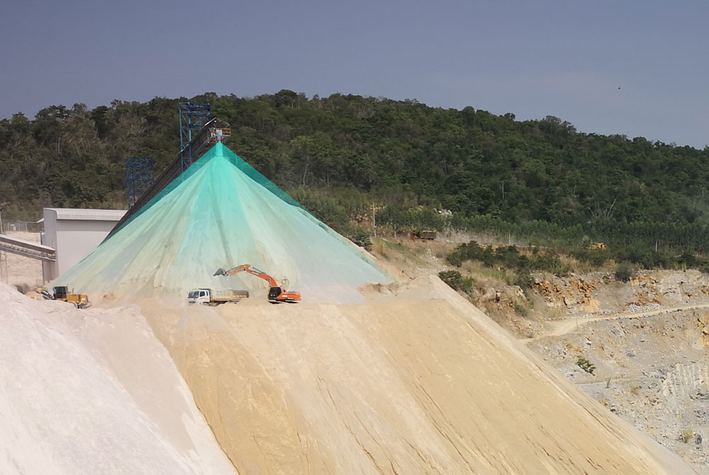
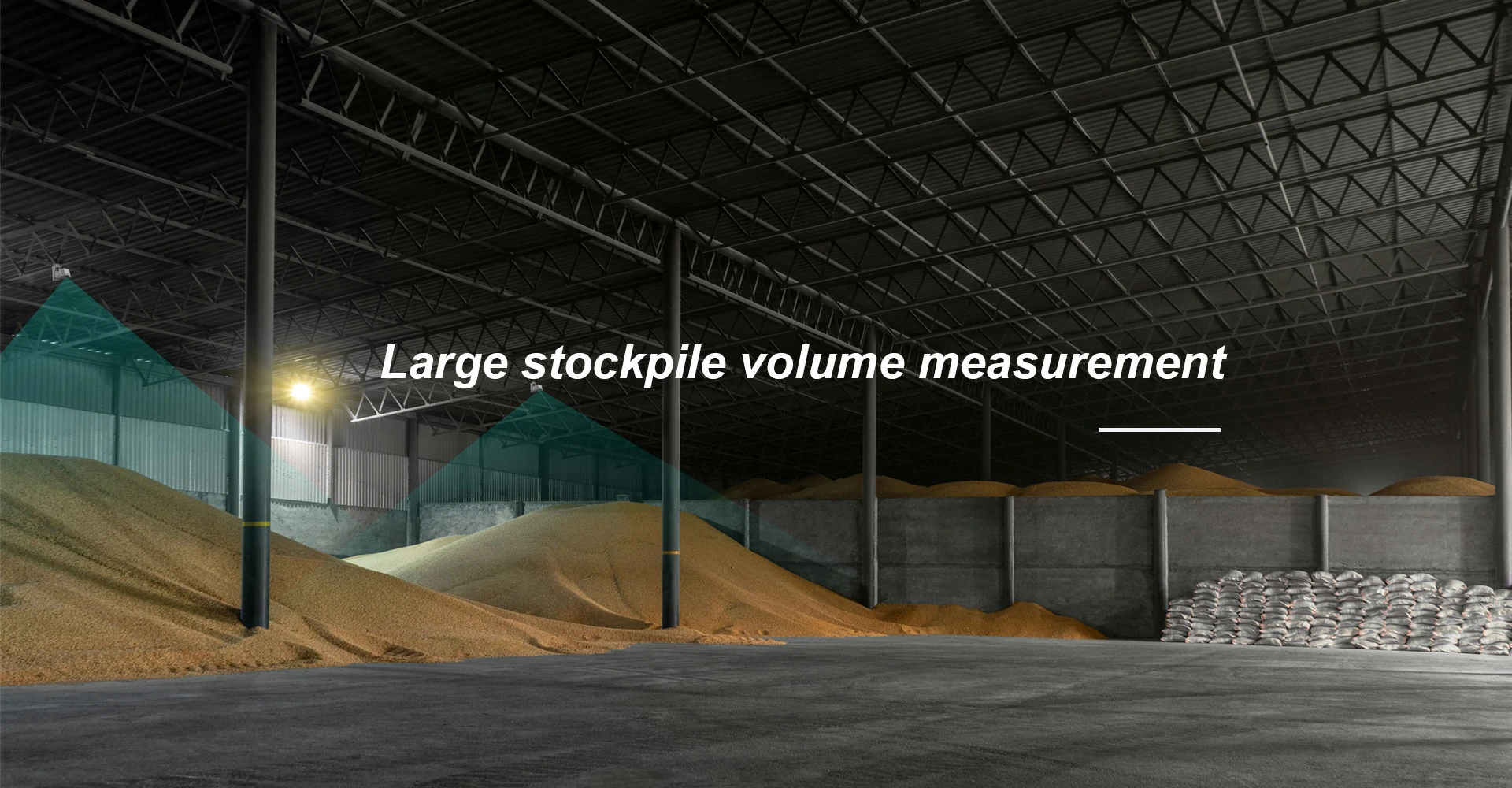
In industries such as mining, construction, and logistics, the management of large-scale stockpiles is a critical aspect of operations. Accurate measurement and monitoring of these stockpiles are essential for inventory management, production planning, and ensuring compliance with regulations. Traditional methods of measuring stockpile volumes can be time-consuming, labor-intensive, and prone to errors. However, advancements in technology have introduced more efficient and accurate solutions. LiDAR-based measurements have emerged as a game-changer in optimizing stockpile management.
The process of using LiDAR technology for measuring large-scale stockpiles involves several steps:
1. Data Acquisition: A LiDAR scanner mounted on a mobile platform such as a drone or ground vehicle is used to capture data from various angles around the stockpile area. The scanner emits laser pulses that bounce off the surface of the stockpile and return to the sensor.
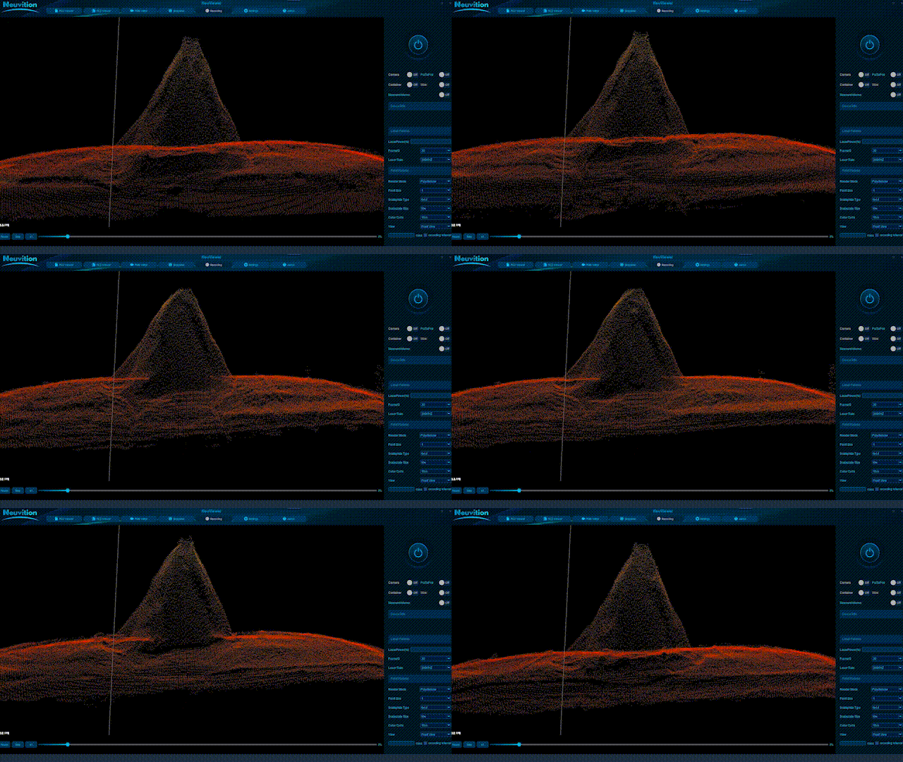
2. Point Cloud Generation: The collected data points are processed to create a point cloud representation of the scanned area. Each point in the cloud corresponds to a specific location on the surface of the stockpile.

3. Surface Reconstruction: Algorithms are applied to convert the point cloud into a 3D model representing the shape and contours of the stockpile surface accurately.
4. Volume Calculation: Once an accurate 3D model is generated, volume calculations can be performed using specialized software tools specifically designed for this purpose.
How does LiDAR work for measuring large-scale stockpiles?
LiDAR systems used for measuring large-scale stockpiles typically consist of three main components:
1. Laser Scanner: The laser scanner emits laser pulses toward the target area or object at high frequencies (thousands per second). These pulses bounce back when they encounter an object’s surface.
2. Global Navigation Satellite System (GNSS): GNSS receivers are used to determine precise positioning information (latitude/longitude/altitude) of the LiDAR system. This information is crucial for accurate georeferencing of the collected data.
3. Inertial Measurement Unit (IMU): IMUs are used to measure the orientation and motion of the LiDAR system. This data helps compensate for any movement or vibrations during data collection.
The laser scanner emits laser pulses in a sweeping motion, covering a wide area. The reflected light from the stockpile’s surface is detected by sensors in the LiDAR system, which measure the time it takes for each pulse to return. By knowing the speed of light, these measurements can be converted into distance measurements.
To create a complete 3D representation of a stockpile, multiple scans are performed from different positions around it. These individual scans are then combined using specialized software to generate an accurate and detailed point cloud representing the stockpile’s surface.
LiDAR-based measurements offer several advantages over traditional measurement methods:
1. Accuracy
LiDAR-based measurements provide highly accurate volume calculations for large-scale stockpiles, enabling precise inventory management and production planning. LiDAR provides highly accurate measurements with sub-centimeter-level precision. By capturing millions of data points per second, it creates a dense point cloud representation of the stockpile’s surface geometry. This allows for precise volume calculations without any guesswork or estimation involved. 3D visualization generated from LiDAR data also helps identify irregularities or inconsistencies within the stockpile structure that may impact stability or quality control measures.
2. Speed
The scanning process using LiDAR can be completed rapidly compared to manual measurements. LiDAR enables rapid data acquisition by quickly scanning the entire surface of a stockpile from multiple angles. This eliminates the need for manual measurements that can be time-consuming and labor-intensive. With LiDAR-based systems mounted on drones, PTZ, or ground vehicles, large-scale stockpiles can be measured in a fraction of the time compared to traditional methods.
3. Safety Improvements
Since it operates remotely without physical contact with the stockpile or surrounding environment, it eliminates potential safety risks associated with manual measurement techniques.
Traditional methods often require personnel to physically climb on top of stockpiles or use heavy machinery near them for measurement purposes– an inherently risky task due to potential falls or collapsing material hazards. By eliminating manual measurement techniques that require personnel to physically climb on top of stockpiles or use heavy machinery near them, LiDAR-based measurements significantly improve safety conditions at worksites. This not only reduces risks but also improves overall site safety by minimizing human exposure to potentially hazardous environments.

4. Cost-Effectiveness
LiDAR-based measurements offer significant cost savings compared to traditional methods. By reducing the time and labor required for stockpile surveys, companies can allocate resources more efficiently and redirect manpower to other critical tasks. The speed and accuracy offered by LiDAR-based measurements reduce labor costs associated with traditional measurement methods while minimizing errors that could lead to costly mistakes in inventory management. Additionally, LiDAR eliminates the need for expensive equipment like total stations or photogrammetry setups, further reducing operational costs.
5. Real-Time Monitoring
With LiDAR systems integrated into automated processes or machinery like drones, PTZ, or robots, real-time monitoring of stockpiles becomes possible without human intervention. LiDAR technology allows for real-time monitoring of stockpile volumes and changes over time. By regularly scanning the same stockpile area, companies can track material movement, identify potential issues such as shrinkage or erosion, and make informed decisions regarding inventory management or production planning.
6. Automation by Integrating with Software Solutions:
LiDAR data can be seamlessly integrated into various software platforms designed specifically for stockpile management. These software solutions enable users to visualize point cloud data in 3D models, calculate accurate volume measurements automatically, and generate comprehensive reports with minimal effort. Integration with existing enterprise resource planning (ERP) systems further streamlines operations by providing a centralized platform for data analysis and decision-making. With LiDAR-based systems integrated into automated processes or machinery like drones or robots, data collection becomes faster and more efficient.
7. Environmental Impact Assessment &Compliance with Regulations
By accurately measuring stockpiles’ volumes before and after extraction activities, companies can assess their environmental footprint more precisely and ensure compliance with regulations related to land use or reclamation efforts. Many industries have regulations regarding maximum height limits for stockpiles due to safety concerns such as stability and potential collapse risks. LiDAR-based measurements help ensure compliance with these regulations by providing accurate height information.
Applications of LiDAR-Based Stockpile Measurements
1. Inventory Management: Accurate volume calculations enable precise inventory control, ensuring that sufficient materials are available when needed while avoiding overstocking or shortages.

2. Production Planning: Real-time monitoring of stockpile volumes allows companies to optimize production schedules based on actual material availability, minimizing downtime and maximizing operational efficiency.
3. Regulatory Compliance: Many industries are subject to regulations regarding stockpile management and environmental impact assessments. LiDAR-based measurements provide reliable data for compliance reporting purposes.
4. Quality Control: By comparing successive LiDAR scans over time, companies can identify changes in stockpile shape or volume that may indicate issues such as material segregation or compaction problems.
Challenges
While LiDAR-based measurements offer significant advantages over traditional methods, there are a few challenges to consider:
1. Cost: LiDAR systems can be expensive, especially when integrated into automated processes or machinery like drones or robots.
2. Data Processing: The large amount of data generated by LiDAR scans requires specialized software and processing capabilities to convert it into usable information.
3. Environmental Factors: Adverse weather conditions such as rain, fog, or dust can affect the accuracy of LiDAR measurements by scattering laser pulses.
Conclusion
LiDAR-based measurements have revolutionized the way large-scale stockpiles are measured and monitored in various industries. The accuracy, speed, and safety improvements offered by this technology make it an attractive solution for optimizing operations. By leveraging LiDAR-based measurements, companies can improve inventory management, and production planning, and ensure compliance with regulations while reducing costs associated with traditional measurement methods. As technology continues to advance further in this field, we can expect even more efficient and accurate solutions for managing large-scale stockpiles in the future.