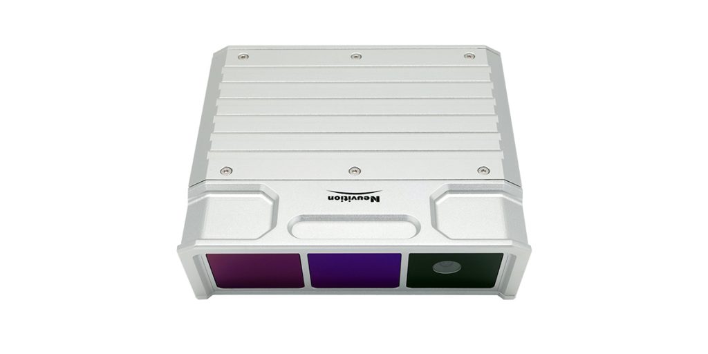
CVIS and V2X with LiDAR
Author: Release time:2020-12-30 16:25:02
With the evolvement in CVIS(Cooperative Vehicle Infrastructure System) and V2X (Vehicle to Everything), ITS (Intelligent Transportation System) and smart cities can be made possible in near future by virtue of the excellent communication capabilities of 5G technology and the development of LiDAR or other sensor technologies. Moreover, the continuous integration and breakthrough of new technologies in artificial intelligence (AI), autonomous driving and 5G communication allow people to get a better, safer, and more efficient travel experience.
Based on wireless communication (3G/4G/5G networks), sensor detection (smart street light LiDAR sensor), and other technologies to obtain vehicle and road information, CVIS (Cooperative Vehicle Infrastructure System) realizes information interaction and sharing through vehicle-to-vehicle, vehicle-to-road communication, to realize intelligent collaboration and coordination between vehicles and roadside infrastructures, and to achieve the goals in optimal use of road resources, improving traffic safety and alleviating congestion. CVIS is a new trend for intelligent transportation systems (ITS).
V2X (Vehicle to Everything) is mainly divided into three categories: vehicle-to-vehicle, vehicle-to-infrastructure, and vehicle-to-pedestrian. Transportation entities, such as vehicles, roadside infrastructure, and pedestrians, can collect and process local environment information (information received from other vehicles or sensor devices such as smart street light LiDAR or camera) to provide more intelligent services, such as collision warning or autonomous driving.
As new trends for intelligent transportation systems (ITS) in the process of smart cities or intelligent cities, CVIS and V2X are good solutions for intelligent communication and coordination between vehicles and infrastructures, making system resources allocated in a more efficient way, and making road traffic safer and reducing traffic jams. .
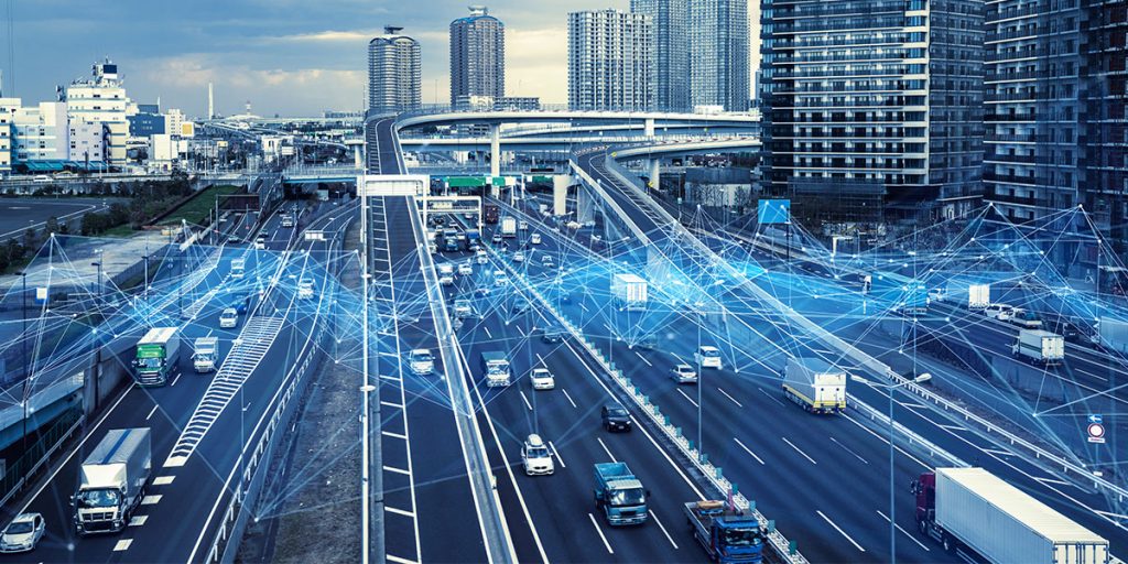
Challenges in V2X and CVIS
Since the promotion of V2X and CVIS and development of smart cities involve and integrate a wide range of different industries, there are still some main challenges the CVIS industry is facing:
1. CVIS information integration lacks a national-wide coordination platform, which causes poor user experience. CVIS demonstration areas/roads in various regions are different in construction subjects, application scenarios, platform operations, and business models, which cause troubles for vehicles moving across different regions.
2. There is no in-depth and overall design for integrating road and infrastructure construction standards and autonomous vehicle technical standards. The current development model focuses more on self-driving vehicles’ design (equipped with LiDAR, camera, millimeter-wave radar, etc.) which must adapt to the current road infrastructure, but less on the intelligent construction of the road. Also, currently, little attention is paid to the functional safety of roadside infrastructure.
3. The ubiquitous information interaction is the key technical basis for CVIS development, however, information security will become one of the biggest challenges in the implementation of the autonomous driving industry based on CVIS and smart cities.
Why is LiDAR important in CVIS?
For the building of CVIS, V2X, ITS, and smart cities, only cameras and speed measuring radars are far from enough, because they are not accurate enough to track moving objects like vehicles. The function of the smart street light LiDAR sensor is to provide information such as high-precision speed, position, direction, as well as state of motion, posture, and shape of a large number of moving objects on the road including vehicles, pedestrians, bicycles, motorcycles, etc. The above-mentioned information of the road participants is vital to intelligent transportation and smart cities.

What problems does smart street light LiDAR sensor solve?
As an irreplaceable part of CVIS and V2X, LiDAR has its unique advantages:
(1) Ultra-long sensing range: LiDAR can reach the farthest detection distance of more than 200 meters.
(2) 3D spatial data: LiDAR can provide higher-precision depth information that the camera cannot provide;
(3) All-weather working: LiDAR will not be affected by changes in ambient light and can work normally at night;
(4) Used as a part of safety redundancy, LiDAR can improve the accuracy and safety of the overall system through data fusion with other sensors.
Working principle
CVIS-based perception makes up for the limitations of single-vehicle intelligence by using roadside sensing equipment (smart street light LiDAR sensor, etc). CVIS-based decision-making makes up for the limitations of single-vehicle intelligent decision-making by using direct information transmission and vehicle-to-vehicle communication, etc.;
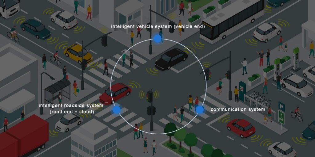
Architecture of CVIS
In the overall architecture of CVIS, intelligent vehicle system (vehicle end), intelligent roadside system (road end + cloud), and communication system form a closed loop of collaborative perception and collaborative decision-making.
The roadside system can be decomposed into road environment perception system based on roadbed 3D LiDAR, data intelligent computing system, and 5G/V2X-based information transmission system. They are referred to as perception system, computing system and transmission system.
In the perception system, the roadbed 3D LiDAR (for example, smart street light LiDAR sensor) is the main body of road environment perception, which is deployed at key and complex intersections or sections of the road to accurately perceive the road in the area. In the computing system, the edge stage collects road environment perception information in a certain area. After computing and integrating massive data, the system distributes, stores, and reports the processed information to realize the construction of dynamic high-precision maps. In the transmission system, the perception data is transmitted to edge nodes through 5G/V2X and distributes the analyzed results of environmental perception data to traffic participants via 5G/V2X.
The intelligent vehicle system is responsible for the real-time processing of massive data on the vehicle side and multi-sensor (especially LiDAR) data fusion to ensure that the vehicle can drive stably and safely under a series of complex conditions.
The communication platform is responsible for providing information channels for real-time vehicle-to-vehicle and vehicle-to-infrastructure transmission. Through a low-latency, high-reliability, and fast-access network environment, the 5G network could ensure real-time information interaction between the vehicle side and the roadside.
Neuvition LiDAR recommended:
Neuvition Titan M1-Pro: Solid-state LiDAR with large field of view of 120°
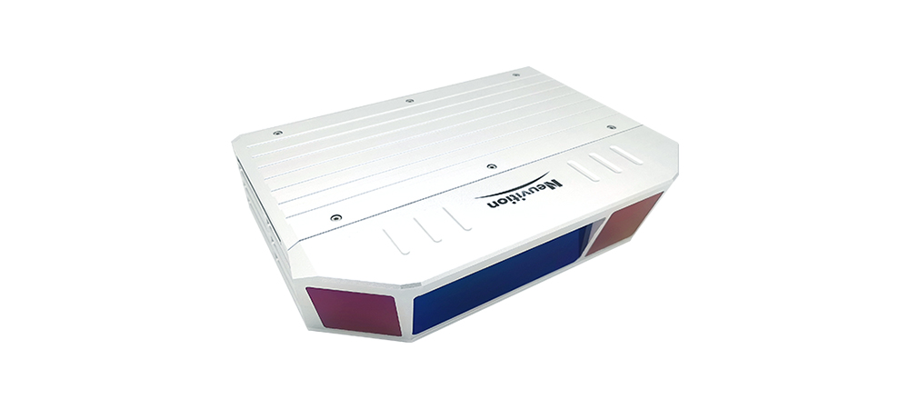
Neuvition Titan M1: The first generation of star products
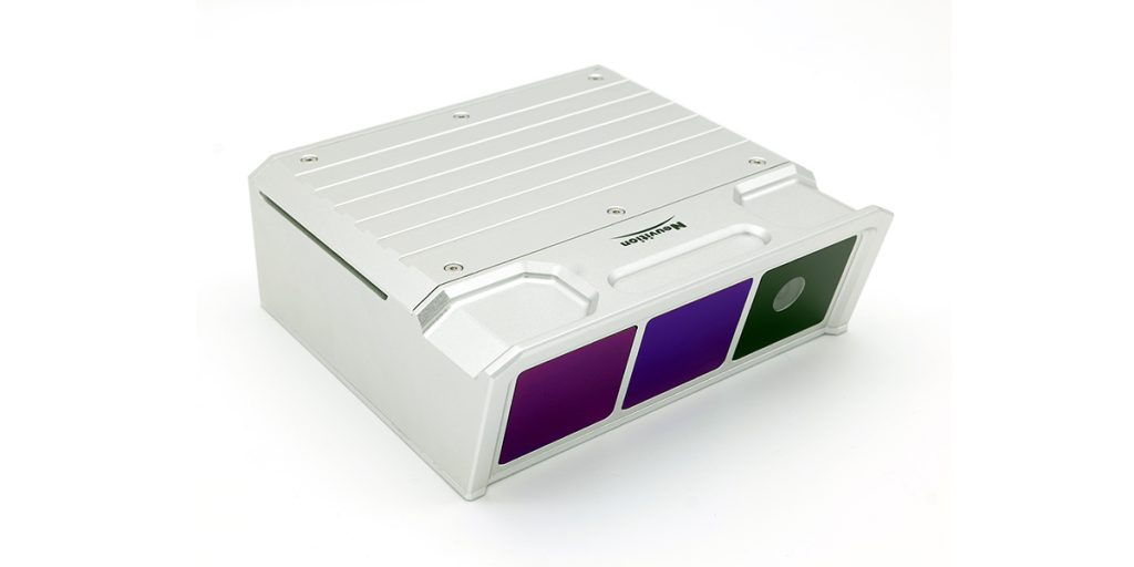
Neuvition Titan M1-R: High precision solid-state LiDAR with ultra-long range up to 600 meters
